Rochers des Mourres rocks near Forcalquier
Natural and with walk site
10 min
view point
This geological curiosity is located above the town of Forcalquier. The landscape here is characterized by surprising rock domes, all of which are a little larger than we are. It's like walking in a forest of giant mushrooms. The vegetation is few and far between, so in summer it looks like a desert here.
No reproduction is permitted without the written consent of the author. (id2327)
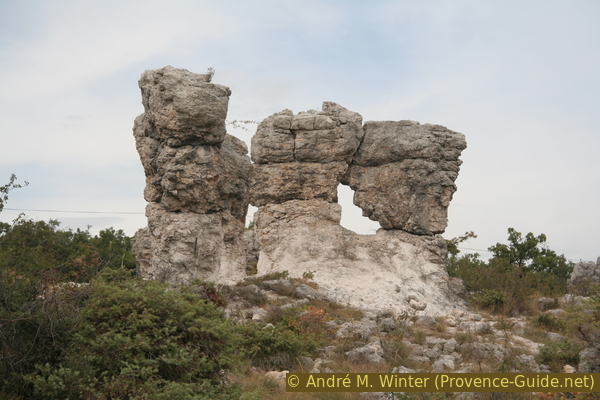
Mourres de Forcalquier
Site history
The formation of these rocks took place around 25 million years ago in shallow fresh water, perhaps in the area of an estuary delta into a lake. Soft and uniform lime formed in it, which is called Calcaire de Reillanne. The natural soil on which we walk is currently made of this type of lime and the base of the stone pillars is also made of it.
The heads of the columns are made of much harder limestone, which formed on small islands of vegetation in what was then a shallow lake. These islands consisted of grasses growing in dense clumps. A harder layer of lime formed around their roots. With the slow rise in the water level, the clumps of grass grew upwards and accordingly took root one level higher. This is how another hard layer formed on top and this is how the horizontal layers that you can see today in the heads on the rock pillars came into being.
Later, the grassy islands were completely submerged and overlaid with a thick layer of soft limestone. The water receded and the area was tilted slightly by tectonic shifts. Erosion by surface water immediately began to take effect: the soft top layer was washed away. When the plane of the hard islands emerged, they remained and thus progressively rose above the plane that was being eroded.
The shapes look a bit like Goblin Valley State Park (only french) in North America, but their formation is different.
No reproduction is permitted without the written consent of the author. (id2331)
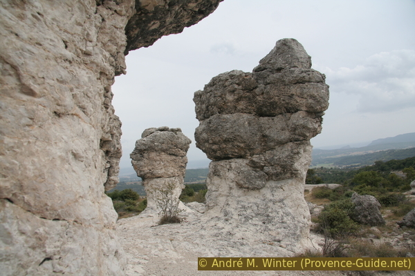
Rocks of Mourres de Forcalquier
Description
Today these forms consist of half hard layers at the top and about half softer rock at the bottom. However, erosion is constantly progressing, eroding the plain and the soft base of the columns. Sooner or later the pillars will become too tall or too thin and will fall over.
This erosion is further drastically accelerated by the visitors and by the trampling on of the sparse vegetation. For this reason, the municipality tries to channel visitors along limited paths. We advise staying on these paths for the sake of nature, it is marked on the map on this page.
No reproduction is permitted without the written consent of the author. (id2328)
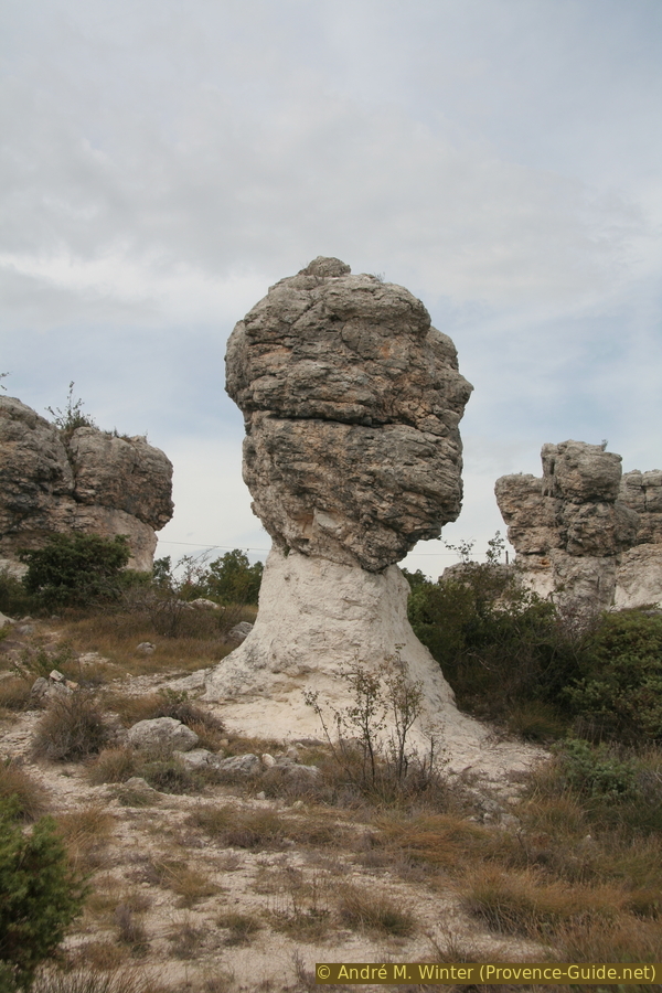
Drumlin of Mourres de Forcalquier
Access by public transport
There is no direct bus connection to the location. Under Les Rochers des Mourres a hike to these great rocks from the centre of Forcalquier is described. Forcalquier is quite accessible by public transport.
Access by car
To get to the bizarre rock, drive through the centre of Forcalquier and follow the arrows to Fontienne from the main square, Place du Bourguet. After leaving the houses of the town, you climb over two hairpin bends. More curves follow, after the third you cross directly into the area of the Mourres de Forcalquier.
Parking site
The small car park that is also marked on the map on this page is also located on this short section. From here you can go on the path through the rock formations, it crosses the road here.
No reproduction is permitted without the written consent of the author. (id2329)

Panorama view of Mourres de Forcalquier
No reproduction is permitted without the written consent of the author. (id2330)
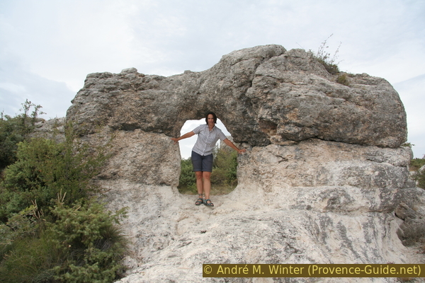
Arch at Mourres de Forcalquier
No reproduction is permitted without the written consent of the author. (id2326)
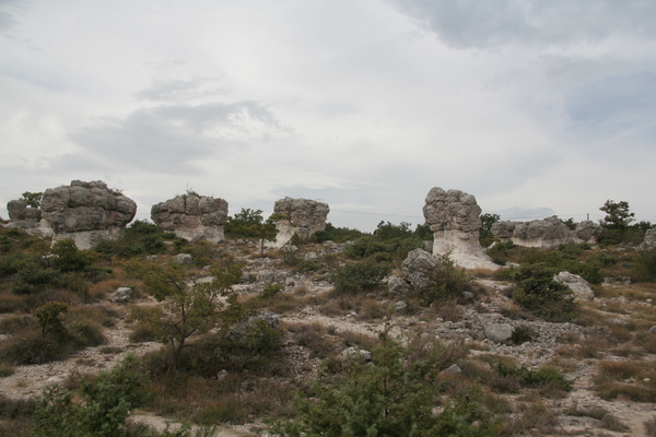
Mourres de Forcalquier drumlins