Clue de Barles canyon
Natural and industrial site
50 min
view point
Description
The Clue de Barles, also known as the Clue de Saint-Clément, is a water gap north of Dignes-les-Bains.
A water gap is usually a ravine or a narrow valley in which a stream flows perpendicularly to the rock strata. This is quite common in the Limestone Alps. But a watercourse usually follows geological strata.
No reproduction is permitted without the written consent of the author. (id6257)
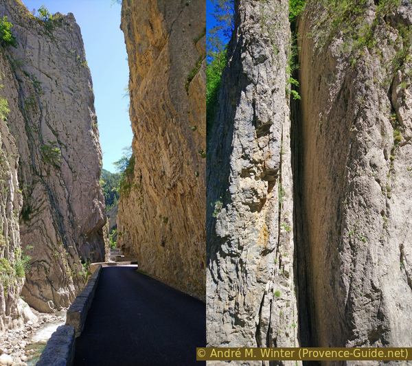
Clue de Barles road and stone layers
This valley is crossed by a small road that was opened in 1913 after 21 years of work, which lasted due to a lack of workers. At that time it was an important connection (national road 100). Today this is a side road, which is also often closed due to landslides and falling rocks.
The impressive route runs between Digne-les-Bains and Verdaches, where joins the D900 between Digne-les-Bains and Seyne-les-Alpes.
No reproduction is permitted without the written consent of the author. (id6258)
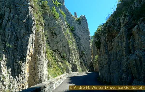
Clue de Barles road
Access by car
Digne-les-Bains is in a valley parallel to the one of the Durance, this place is signposted widely. In the city itself you come to the roundabout between the Bléone river and the city center. There you take then the road to Barles, which runs upstream along the river. We leave the city, cross a bridge to cross the river and quickly pass the Ammonite slab at Digne-les-Bains parking lot and compound. Five minutes later we pass the Ichthyosaur of La Robine parking lot.
There are two bays south of the bottleneck and a slightly larger car park at the north exit.
Access by public transport
Access by public transport is only possible as far as Digne-les-Baines. The valley can be explored by bike from here, the climb is fairly constant, 200 meters in altitude over a distance of 21 kilometers (one way to the Clue de Barles).
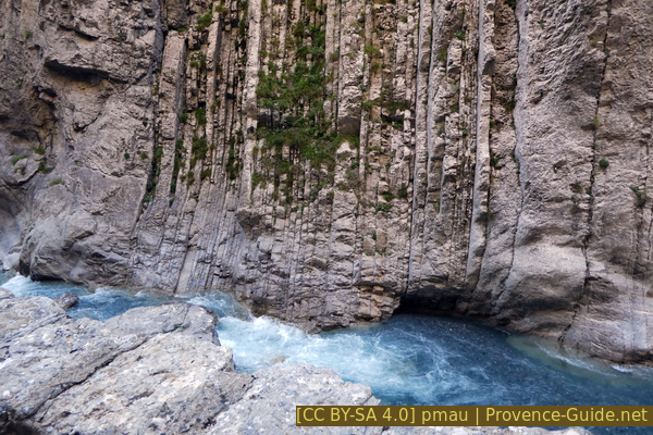
Cut layers of limestone in the Clue de Barles
Another ten minutes on this road and we come to the first narrowing, the Clue de Perouré with a tunnel and two bridges over the river Bes.
The road follows now fairly straight valley and when the valley turns you are already in the vicinity of the Clue de Barles with the vertical walls.
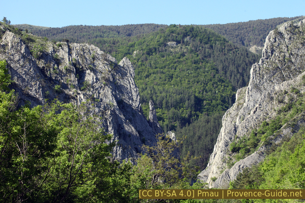
Clue de Barles arriving from north
Water gaps are generally created by raising terrain when a watercourse already exists and needs to make its way through.
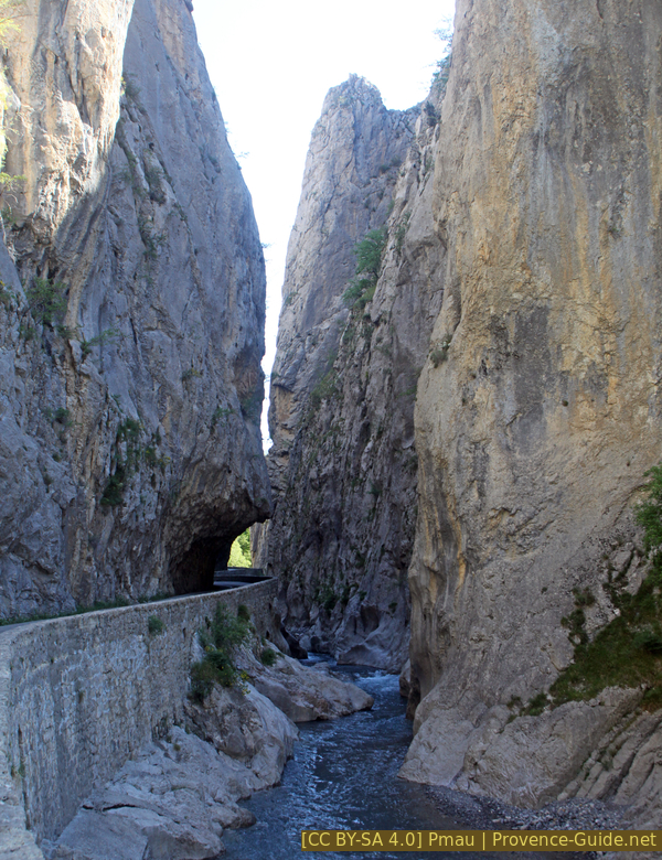
Clue de Barles from south
Further north is the village of Barles with a small tunnel.
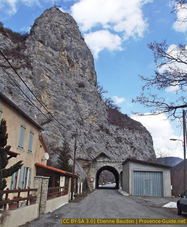
The short tunnel near Barles seen from the south
The exit to Verdaches leads through a gentler landscape.
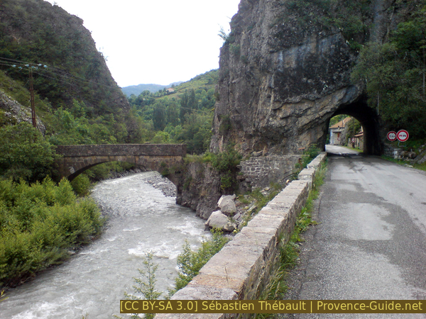
Old bridge and the short tunnel near Barles
No reproduction is permitted without the written consent of the author. (id6259)
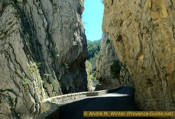
Clue de Barles road