Viewpoint Pierre Platte in Lucéram
Natural and with walk site
10 min
geology
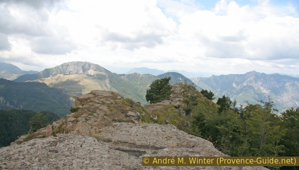
If you're looking to leave the crowded Riviera coastline and head towards the Alps, the Col de Turini pass is a must. This mountain road climbs to the village of Lucéram and further up. In Peïra Cava there is a natural viewpoint where you can see the area of the Mercantour National Park, the mountain ranges to the west and also the sea.
It is a flat and easy to walk rocky ridge that protrudes westwards into the valley.
No reproduction is permitted without the written consent of the author. (id2249)

Panorama view from Pierre Platte in Peïra Cava
Access by public transport
Bus line 615 departs from the north of Nice at the Gare Routière Vauban bus station (also tramway stop T1) to Lucéram. The terminus at the top of the mountain is called Peïra Cava. Information under Zou! (only french).
Walk down the street again until behind the last houses. On the right a road goes downhill, the vewpoint is also marked with Table d'Orientation.
Access by car
From Nice, take the road towards Sospel. Coming from the motorway, exit at Nice-Est (Nice East, actually North-East) and follow the signs to La Trinité. Take the dual carriageway along the Le Paillon River out of town. Exactly at this intersection, the traffic signs are unfortunately very poorly distributed. In l'Escarène we turn left towards Lucéram and the Col de Turini.
After Lucéram, there are several sections with hairpin bends to get to a wooded ridge, where the ascent is a little flatter. After a straight stretch you come to the hamlet of Peïra Cava. Just before it goes left down to the viewpoint (Table d'Orientation).
You can park directly in front of the view point.

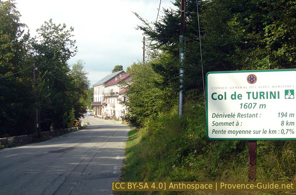
Entrance to Peïra Cava, the first lane on the left leads to the viewpoint
No reproduction is permitted without the written consent of the author. (id2248)

Pierre Platte in Peïra Cava