Ghost village of Châteauneuf-lès-Moustiers
Historical and natural site
40 min
chapel
Description
The site was already inhabited from around the year 1000, at which time the construction of a new castle (Château Neuf) is documented. At the beginning of the 19th century there were around 600 inhabitants. The seclusion, the lack of water and famine later greatly reduced the number of inhabitants. The village is also off the beaten track and the First World War dealt the deathblow to the village community: 20 men did not come back. The village was then completely abandoned and the few remaining people settled in the hamlets in the plain near the few springs.
The name of the village includes the addition of Lès Moustiers. That means near Moustiers. This proves the seclusion at that time, Moustiers is 15km away on foot, 500 meters of altitude must also be taken into account.
The village at the ridge was abandoned. Today the roofs no longer protect the walls, and the ceiling of the church has collapsed. The walls are partly supported, partly they are forced to collapse when the situation becomes too dangerous. The ruins are thus still changing over time.
From the top you have a good view of the Verdon hinterland, with the ruins in the foreground.
No reproduction is permitted without the written consent of the author. (id2845)
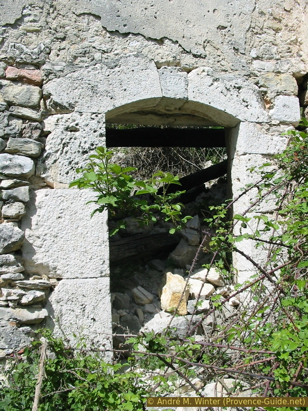
Front door from 1826
Access by public transport
The village of La Palud is on bus line 480, although there are only a few connections per week outside the summer season, information can be found under Zou! (only french).
It takes an extra hour one way from the bus stop to the starting point of this tour.
Access by car
The village is north of La Palud-sur-Verdon, you pass here on the Corniche Nord du Verdon, it is also the main connection between Moustiers-Sainte-Marie and Castellane. At both village entrances in the west and in the east, roads lead to the north, which later unite. It then continues north for five kilometres and over the Col de la Croix de Châteauneuf. After a downward bend, we cross a level and before the road leads uphill again, we turn left towards Le Plan.
Parking site
500 meters after the last junction we come to another one. Here we turn left and come to a gravel road. After a few meters there is an open space with parking possibilities near a barn. Here you stand far away from houses and don't disturb anyone.
Short trail
Opposite the barn climbs a forest track north towards the abandoned village. We end up higher on the previous road and climb a few more meters to turn right at the crossroads.
After two hairpin bends, you arrive under the abandoned village near the war memorial. After two more hairpin bends, we find ourselves on the flat pass near the (equally abandoned) cemetery of the village. We climb 100 meters in altitude.
No reproduction is permitted without the written consent of the author. (id319)
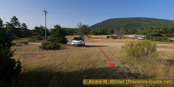
Le Plan car park
There is a signposted circular route between the ruins. The former church is the ruin, which towers somewhat above the rest.
No reproduction is permitted without the written consent of the author. (id298)
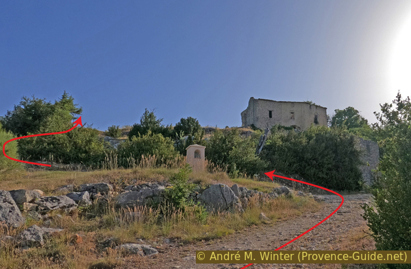
Arrival under Châteauneuf-lès-Moustiers
Examining the ruins is not forbidden, but we advise against it: the masonry is held together with poor mortar and the ruins have been exposed to wind and winter frost for 100 years.
No reproduction is permitted without the written consent of the author. (id266)
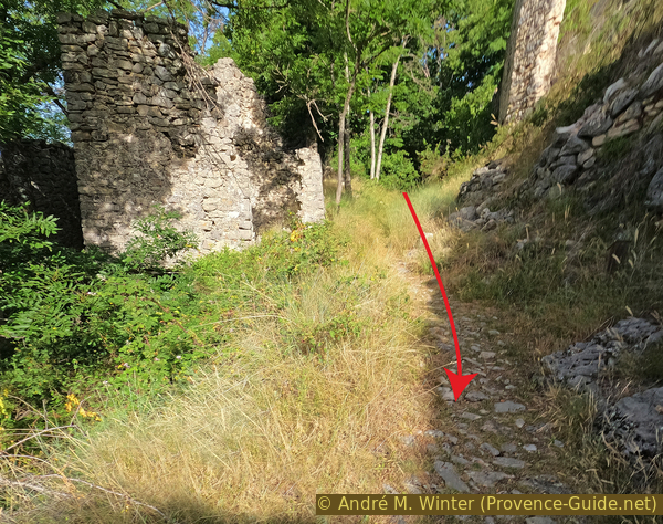
The calade of Châteauneuf-lès-Moustiers
We return by the same way to the starting point.
No reproduction is permitted without the written consent of the author. (id2846)
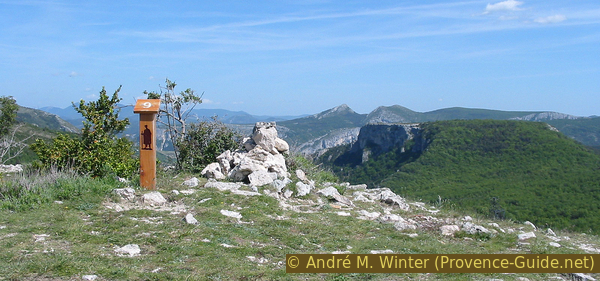
Highest point in the village and marking of the theme trail
You may extend the hike to the Cave Notre-Dame.
No reproduction is permitted without the written consent of the author. (id2842)
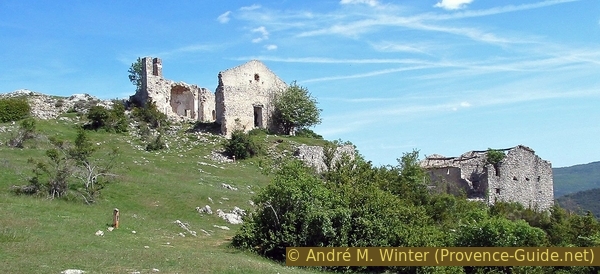
Châteauneuf-lès-Moustiers church
No reproduction is permitted without the written consent of the author. (id2847)
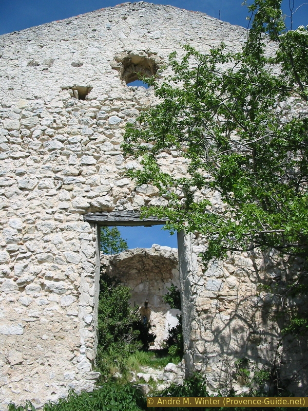
Church door
No reproduction is permitted without the written consent of the author. (id2844)
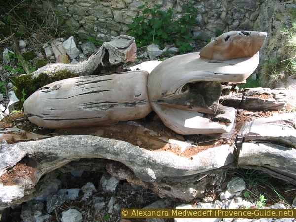
Carved mortar shell as a symbol against the Iraq war
Photo of 2003.
No reproduction is permitted without the written consent of the author. (id265)
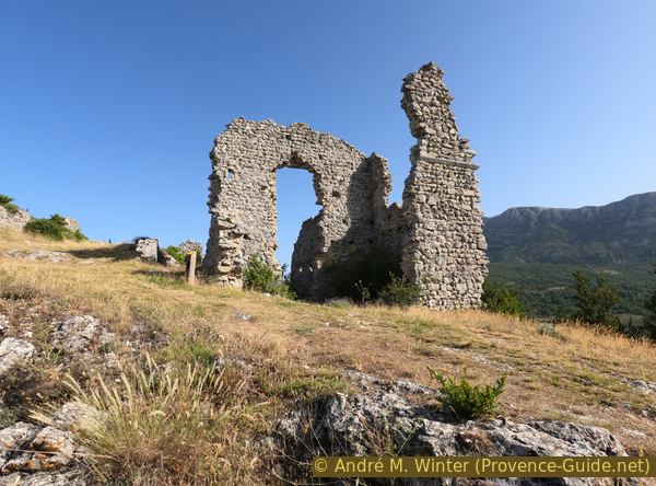
The new castle of Châteauneuf-lès-Moustiers