The Chapel of Romanin near St. Rémy
Cultural and historical site
15 min
shade
This chapel can only be found with a good description: abandoned in a large field, completely hidden behind old oak trees and invisible from roads and paths. It is located about five kilometers east of St. Rémy and on the Canal Septentrial des Alpines (irrigation canal).
No reproduction is permitted without the written consent of the author. (id4772)
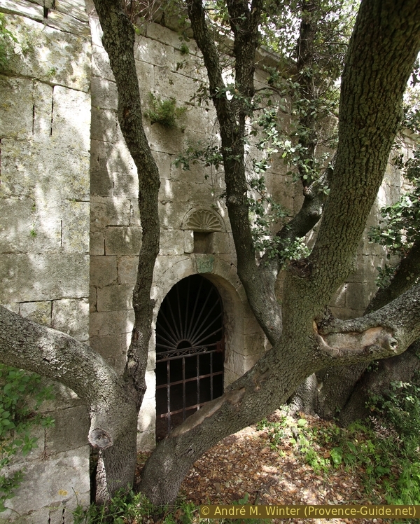
Barred entrance to the south of the Romanin chapel
Description
The masonry visible from the outside dates from the 12th century. The roof and the Gothic vault below were rebuilt in the 14th century, probably after a collapse. The probably original apse was never erected again. The chapel is Romanesque on the outside and Gothic on the inside.
No reproduction is permitted without the written consent of the author. (id4777)
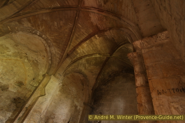
Gothic arches in the Romanin chapel
The chapel is quite large for its location in the middle of the fields. Although there used to be a castle not far away at the foot of the mountain massif in the south, the importance of the chapel probably goes back to its location on the Via Aurelia. This connection was also quite important in the Middle Ages. It also goes by other names: Chapelle Notre-Dame-de-Romanin, Notre-Dame-de-Pierargues (or Piargues). Unfortunately, not much more is known about the chapel today.
No reproduction is permitted without the written consent of the author. (id4776)
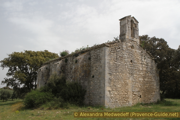
North and west side of the Romanin chapel
Access by public transport
The chapel cannot be reached by public transport. The town of St. Rémy de Provence in the west is easily accessible by bus, see Zou! (only french). The attraction can also be reached on foot in just over an hour, following the Canal Septentrial des Alpines.
Access by car
Access is on the main road D99 between St. Rémy and Cavaillon. Coming from the west, about three kilometers after leaving St. Rémy, turn right towards Romanin Airport. We now drive straight south on this narrow road, cross a canal and after 50 meters we turn left onto a gravel road.
We are now on the former Roman Via Aurelia. Today it runs north of the airfield, it is quite bumpy and not straight. After 700 meters the road widens at a crossroads.
Parking site
Shaded parking is available at the crossroads and on the road further east.
North of the gravel road, i.e. on the left when you come from St. Rémy as described, there is a narrow passage in the hedge that borders the field. This is opposite a red sign warning of the airport. The picture below is taken in the other direction, i.e. to the south.
No reproduction is permitted without the written consent of the author. (id4774)
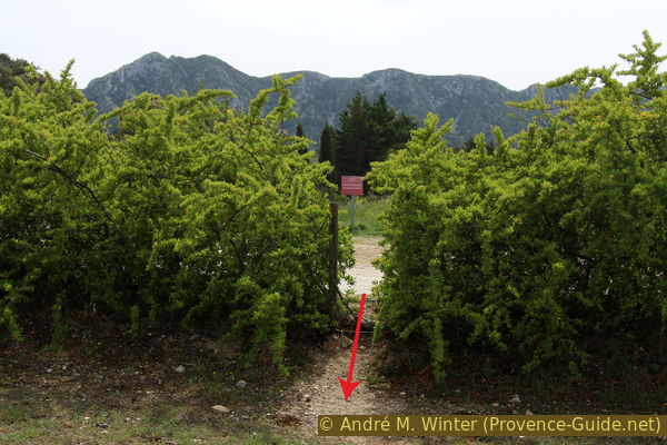
Passage in the hedge north of the chapel
Look back, the gravel road is behind the hedge in the picture.
Access by short walk
We are standing after the hedge on a strip of grass and in front of a field with olive trees. Further back and to the left, oaks tower above the olive trees. These larger trees stand around the chapel. So we cross a few rows of olive trees and soon come to the chapel.
The map also shows a way to get to the chapel from the east, north and along the canal.
No reproduction is permitted without the written consent of the author. (id4775)
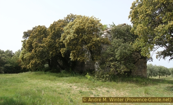
Oak trees to the south-east of the Romanin chapel
Warning: The chapel and the surrounding area, including the field with the olive trees, are private property. Don't damage anything, protect the plantations, leave no waste and don't come here in bulk!
No reproduction is permitted without the written consent of the author. (id4773)
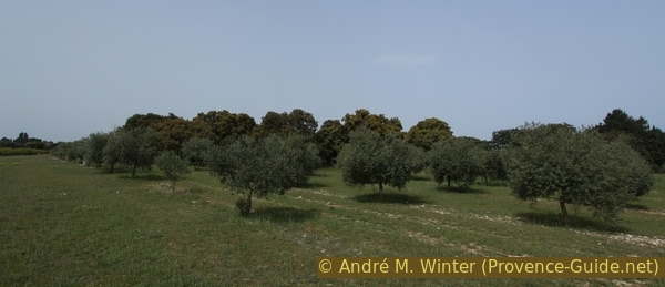
Oak trees hide the Romanin chapel
No reproduction is permitted without the written consent of the author. (id4778)
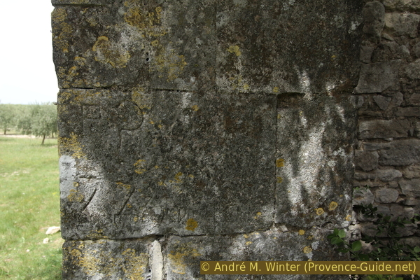
Carved reminders on a cornerstone of the chapel
No reproduction is permitted without the written consent of the author. (id4779)
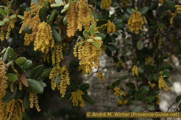
Oak blossom
No reproduction is permitted without the written consent of the author. (id4780)
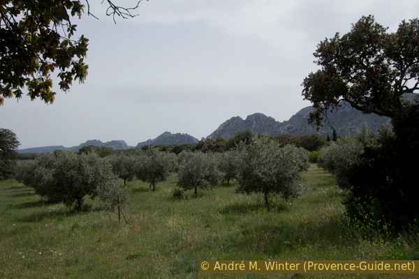
Alpilles massif seen from that of the chapel
No reproduction is permitted without the written consent of the author. (id4771)
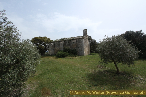
Chapelle de Romanin